CRIANLARICH TO LOCH DOCHART VIA THE DISUSED TRACKBED OF THE OLD CALLANDER AND OBAN RAILWAY LINE
Crianlarich was and remains a significant railway junction in the West Highlands. You can arrive on the West Highland Line from the South at 1007hrs, 1230hrs or 1412hrs (trains from Glasgow) or from the North (trains from Fort William) at 0931hrs or 1327hrs or from the West (trains from Oban) at 1008hrs or 1332hrs.
see: http://www.realtimetrains.co.uk
The first railway to arrive at Crianlarich was the Callander and Oban (C&O) railway, which reached the west coast town of Oban in 1880. From Stirling the line turned north via Dunblane and Doune to Callander and Lochearnhead, before climbing Glen Ogle and turning west along Glen Dochart to Crianlarich, and on to Oban from there. The section of track from Crianlarich to Oban remains in operation, the section between Dunblane and Crianlarich was closed by nationalised British Railways in the autumn of 1965 under the ‘Beeching cuts’. The West Highland Railway, also known as the West Highland Line (WHL), opened in 1894, from Glasgow to Fort William (extended to Mallaig in 1901) and crossed the C&O at Crianlarich by a still existant viaduct. The C&O was initially operated by the Caledonian Railway Company, while the WHL was operated by the North British Railway Company.
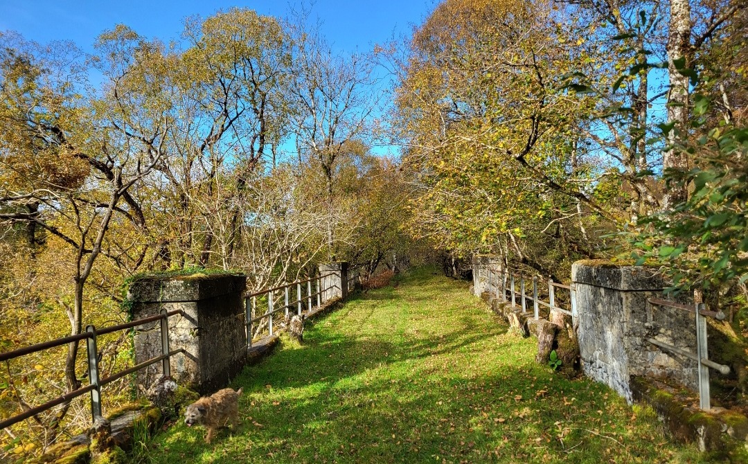
Parts of the dismantled C&O line can be walked or cycled, particularly the southern sections around Glen Ogle where the old trackbed paths are good. From Crianlarich, there is a short 2 km section that heads east from the area of the old C&O station (“Crianlarich Lower”), in the middle of the village and finishes at the east end of Loch Dochart, under the slopes of the areas highest mountain, Ben More (3852 feet/1174m). Most of this path is now overgrown and forested in places but, for the most part, is distinct and easy to follow.
From the still operational Crianlarich (WHL) station, walk to the north end of the platform, down the stairs, turn right and walk downhill past the village Post Office/shop on your right till you come to the main A85 road, which travels east to west through the village. Cross the road into Meadow Close where 2 modern white houses are located.

Entrance to Meadow Close from A85
This is the site of Crianlarich Lower (C&O) station, of which virtually nothing remains.

Crianlarich Lower station 1913 (Photo: J.B. Sherlock/Lens of Sutton)
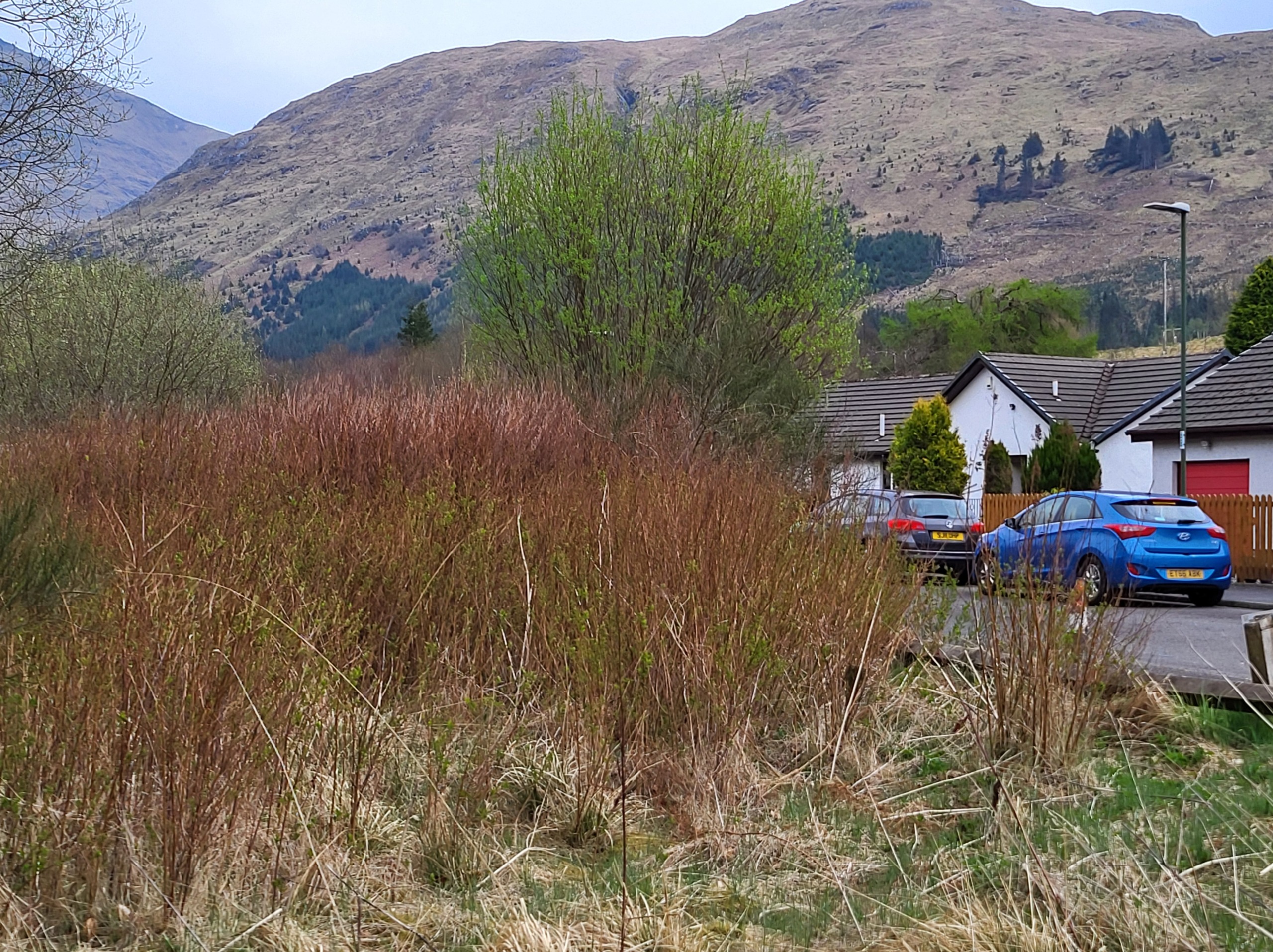
Station site now
Crianlarich Community Garden is located in what was the goods yard just to the east side of Meadow Close. A small information plaque is located adjacent to the houses, where the trackbed path heads west towards the WHL viaduct over the village. The trackbed path eastwards has to be accessed beyond the community garden by walking east along the footway beside the A85, a short distance out of the village until the entrance to Ben More Lodge hotel and restaurant are reached. Behind the hotel and lodges lie the trackbed, where several features including sleepers and a concrete bridge remain.
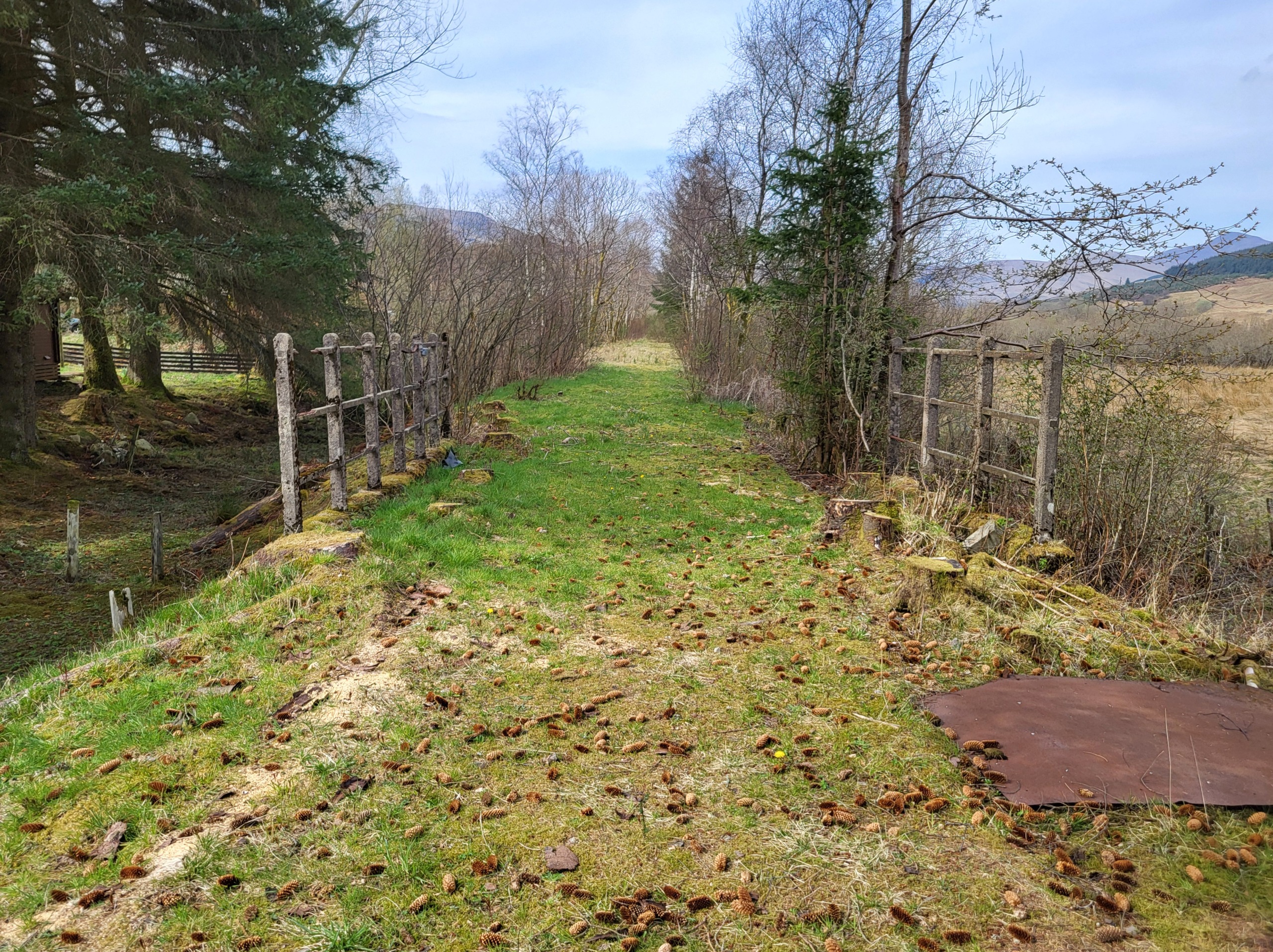
Trackbed and bridge behind Ben More Lodge hotel, looking west
Sadly, another unsafe metal plated bridge prevents access east beyond the grounds of the hotel, therefore, leaving the hotel grounds, again walk a short distance east alongside the A85 to Inverarden Cottage. Walk east through the grounds, avoiding a slurry pit in the middle of the former trackbed until a wooded footpath is accessed over a stile.
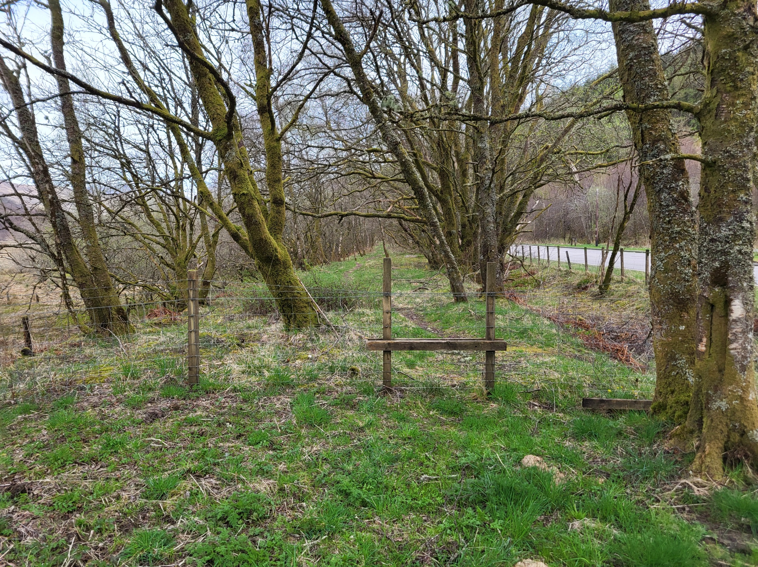
Entry to wooded pathway beyond Inverarden
Follow the path or the next 1 km, there are a few fallen trees to negotiate but the path affords views of the River Dochart to the north, which turns into the small loch, Loch Dochart. The A85 closely follows the trackbed at this point and a castle-like structure can be seen on a piece of land jutting out towards the middle of the loch. It was in fact a private house, but is now a ruin.
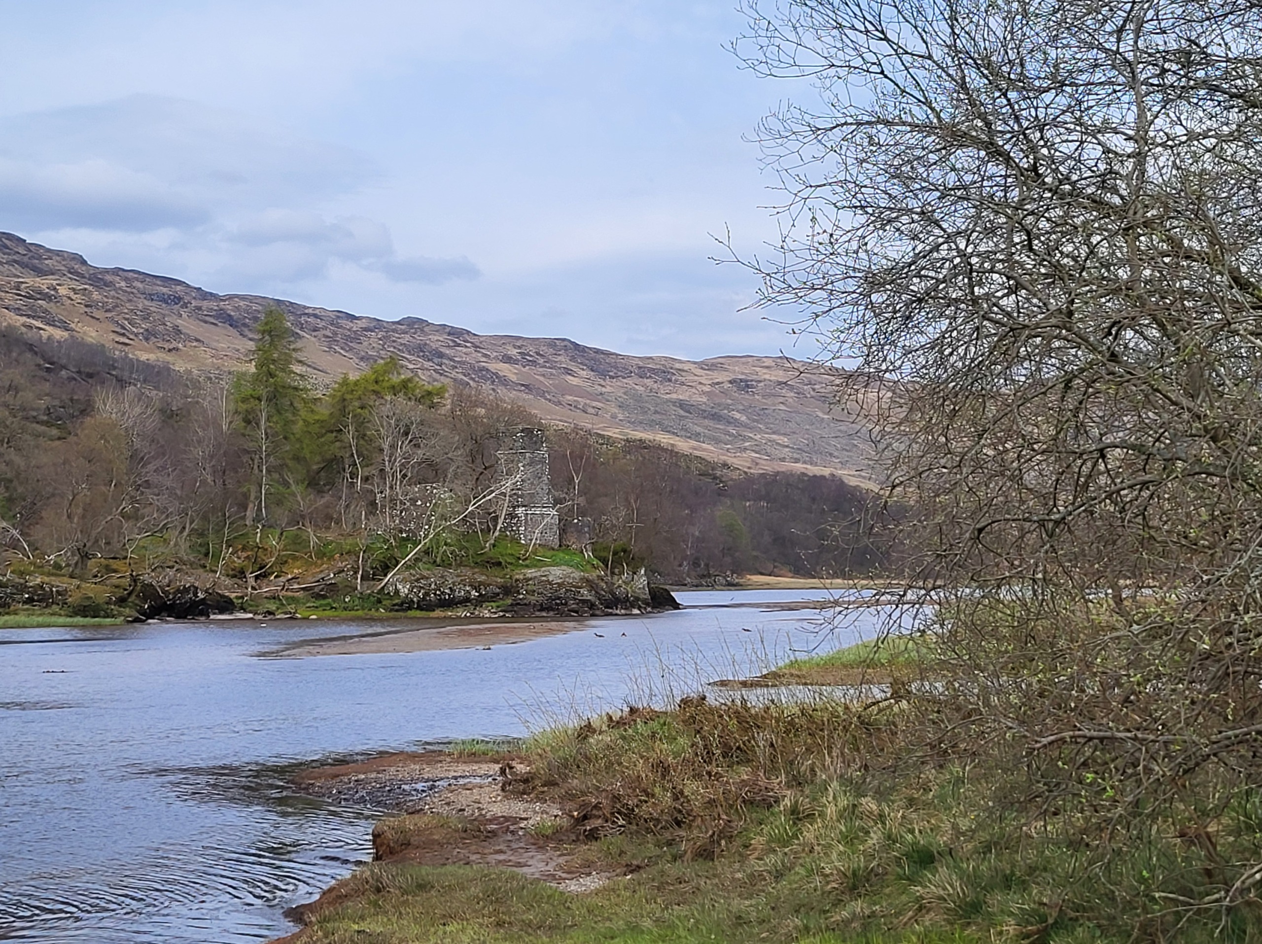
Remains of building on Loch Dochart
Towards the end of the loch, the abutments of an old railway bridge remain, and just beyond that lie a collection of residential buildings, Glen Dochart Holdings. There is a river here, on which the concrete railway bridge has collapsed, so leave the trackbed here and walk back to the road (Ben More farm and Portnellan hotel being on the opposite side of the A85). Thereafter a section of the old A85 can followed by walking beyond the signs to Innischeroch cottage. The trackbed fades out a short distance from here as it crossed the old A85 and continued east above Loch Iubhair (also spelt Tubhair), the area now being quite wooded.
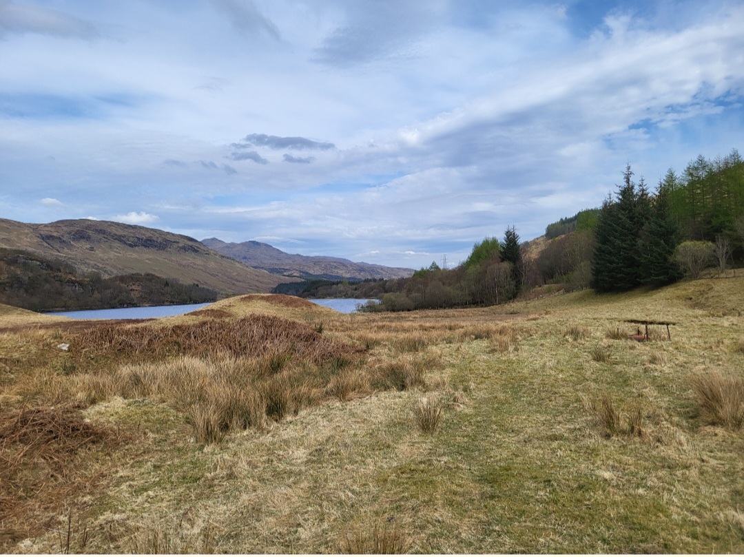
Looking east to Loch Iubhair
The broad flank of Ben More lies to the South
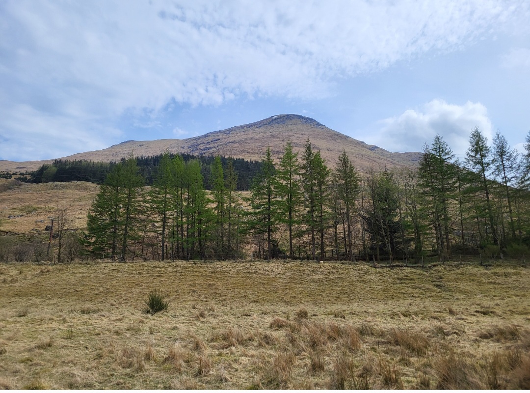
Ben More
Return to Crianlarich on the same route, which provides scenic views of the hills to both east and west as well as Loch Dochart and Ben More.
Trains return South from Crianlarich at 1327hrs, 1606hrs or 1923hrs, north to Fort William at 1424hrs or 2020hrs and west to Oban at 1230hrs, 1412hrs, 1826hrs and 2007hrs
Summary
Distance: 4 km
Duration: 2-3 hours
Height gained: Very level throughout
Terrain: Easy, albeit trackbed path inaccessible in places described
Map: OS Landranger 50/51

Bartholemew map circa 1920 showing railway lines in black
Words and photos by John Gilchrist (unless otherwise stated)
We want to keep our roads less busy and our air less polluted. See our Projects.