WALKS AROUND TYNDRUM – RIVER CONONISH, DALRIGH BATTLEFIELD, AUCHTERTYRE VIADUCT, ST FILLAN’S PRIORY AND “THE LOCHAN OF THE LOST SWORD”
Tyndrum is a small village that lies some 5 miles north of Crianlarich in the valley of Strathfillan. It has 2 railway stations, for a population of just under two hundred residents. Tyndrum has several amenities that cater for an ever increasing tourist population that pass through the village throughout the summer months. The longstanding institution that is the “Green Welly Stop” being one.
see :
http://thegreenwellystop.co.uk
The other being The Real Food cafe.
The Callander and Oban railway arrived in Tyndrum in 1873 and was extended west to Oban in 1880. Trains between Glasgow and Oban are served by Tyndrum Lower station which lies to the South west of the village. Upper Tyndrum station lies on the hillside on the south east side of the village and opened in 1894. It serves trains that run on the West Highland Line between Glasgow and Fort William in the north (and thereafter west onto Mallaig).
This walk is basically a circuit that can be commenced from and completed at either of the stations at Tyndrum and encompasses several sights of local interest with centuries of history.
Arrive at Upper Tyndrum from Fort William and the North at 0920hrs or 1316hrs, and from Glasgow and the South at 1030hrs or 1433hrs
Arrive at Tyndrum Lower from Oban and the West at 0958hrs or 1318hrs, and from Glasgow and the South at 1023hrs or 1241hrs.
see :
If arriving at Upper Tyndrum, walk downhill to the main A82 road that runs through the village, turn right (north) and after a short distance, turn left and follow the signs for Tyndrum Lower station which lies a short distance to west. Continue to the station and cross the railway following the sign for the forestry track to Ben Lui.
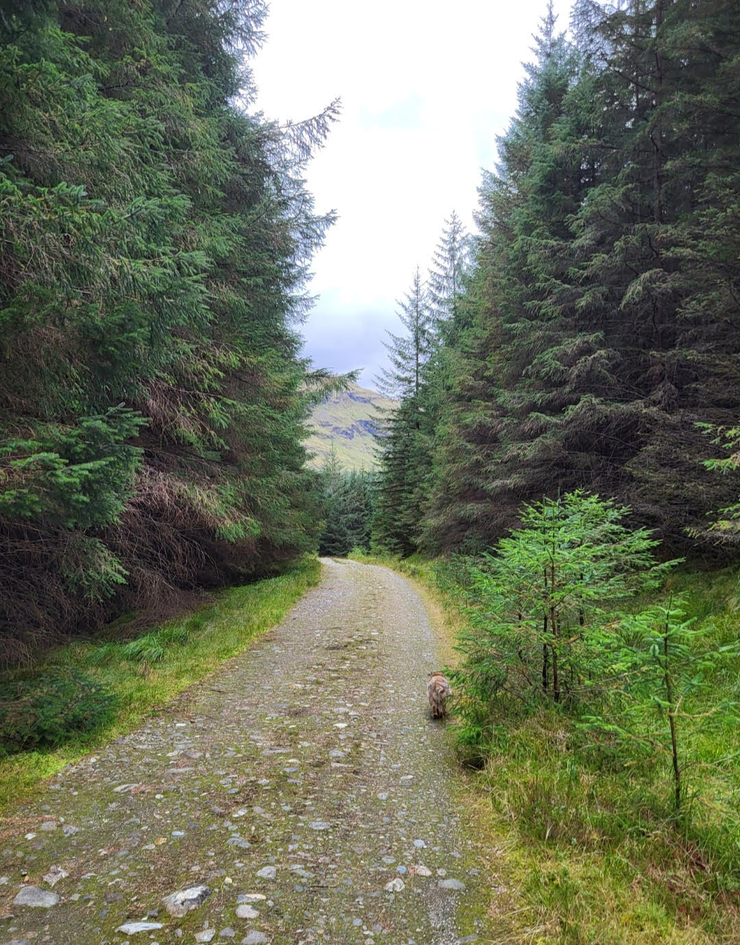
Follow the forest track south west for approx 1.5 km until the landscape opens up and affords views of the surrounding hills, Ben Lui in particular. The track then meets with a gravel roadway that runs east to west alongside the River Cononish towards Cononish farm and Ben Lui beyond it to the west. The roadway also serves the mining facility at the head of the glen.
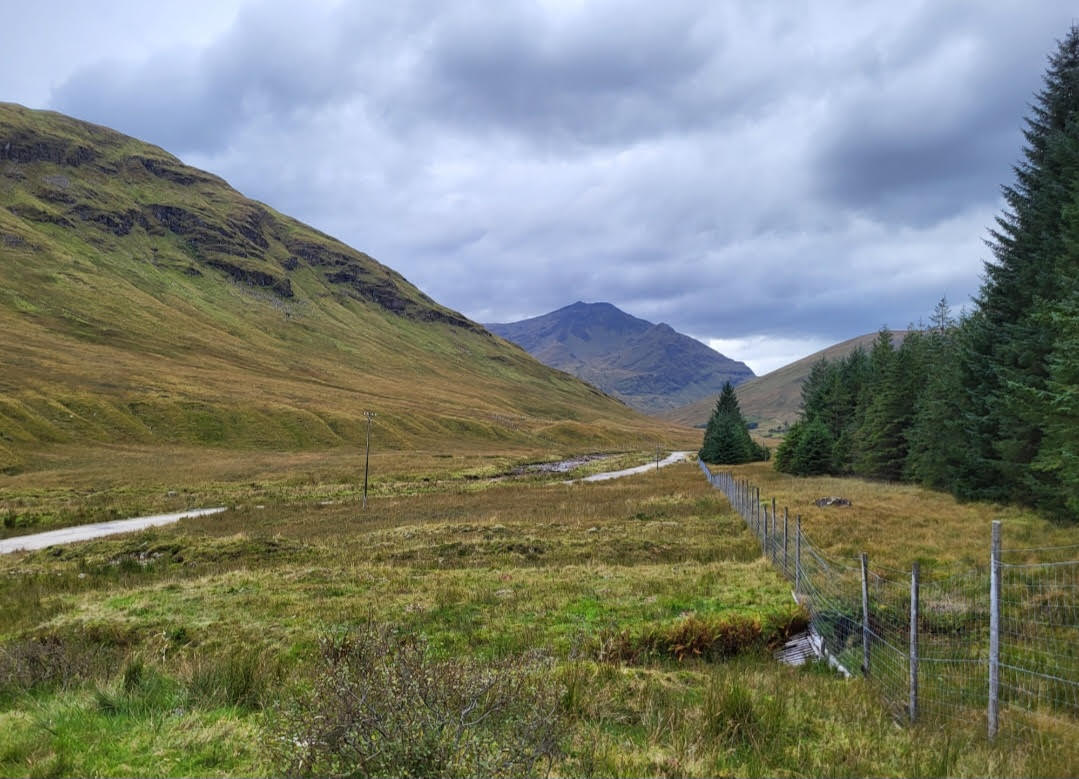
Looking West towards Ben Lui, gravel roadway and River Cononish on left
Tyndrum lies amidst splendid mountain scenery and Ben Lui (3707 feet/1130m) is among the most majestic and alpine in the area.
Turn east and follow the roadway, passing under the Oban railway line through a wooded area, wherein lies a junction with the footpath of the West Highland Way (WHW). The WHW path back north to Tyndrum village is signposted at this junction (and will be used later in this walk).
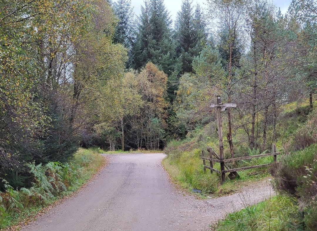
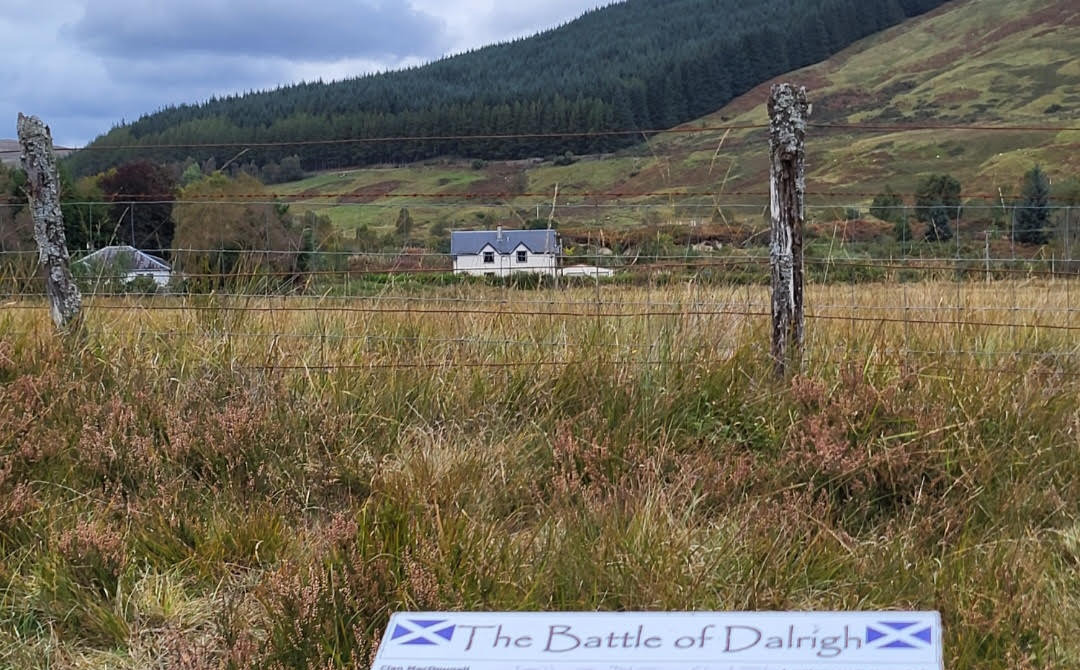
The WHW is also signposted east and effectively becomes the roadway you are already on. Follow the WHW eastwards beside the River Cononish then cross the bridge on the Crom Alt burn where the Cononish meets the River Fillan. You then pass the site of the Battle of Dalrigh in 1306, defeat at which forced Robert the Bruce into hiding before he ultimately led his army to victory against King Edward of England at Bannockburn in 1314. An information board provides a history of the battle.
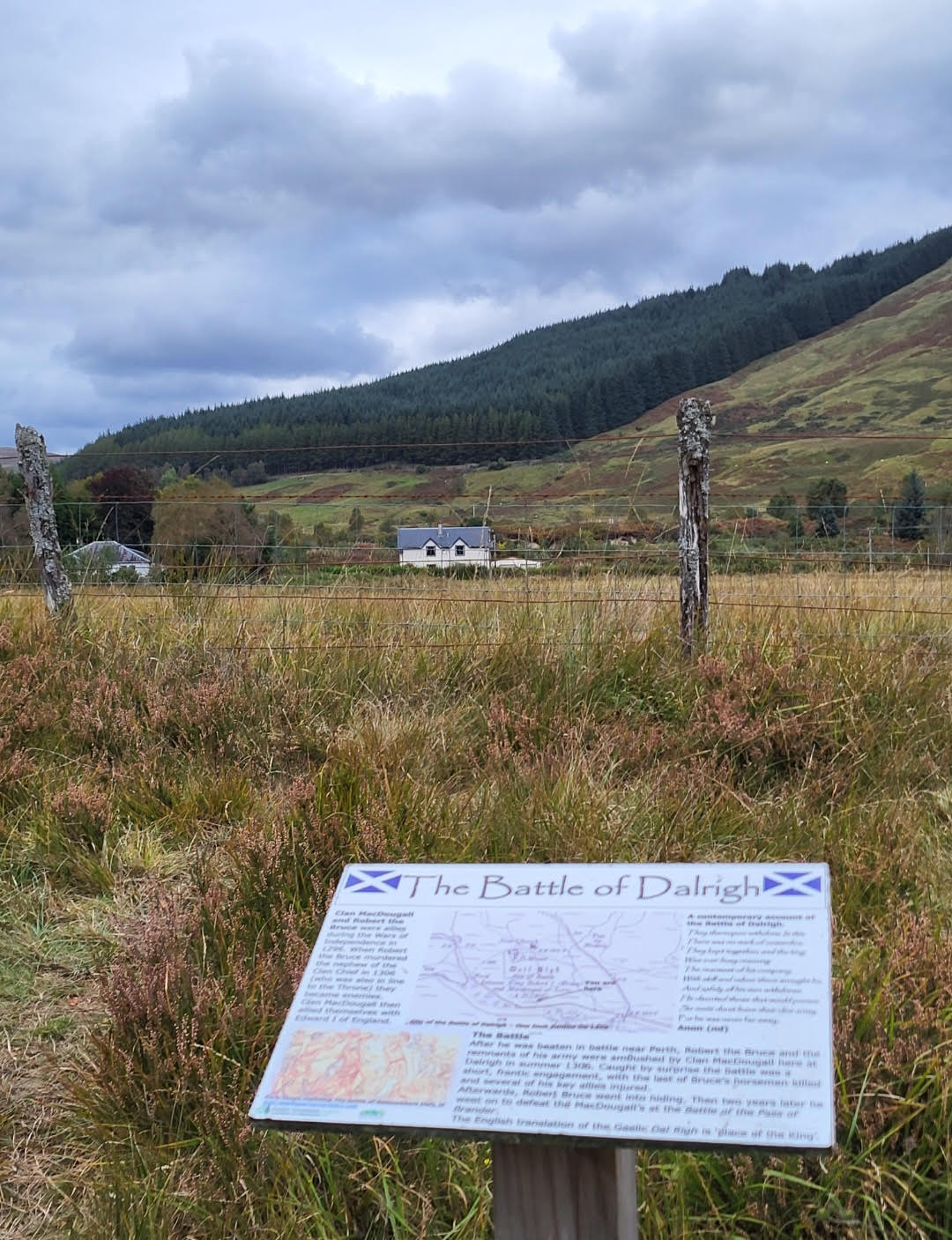
Dalrigh battlefield site
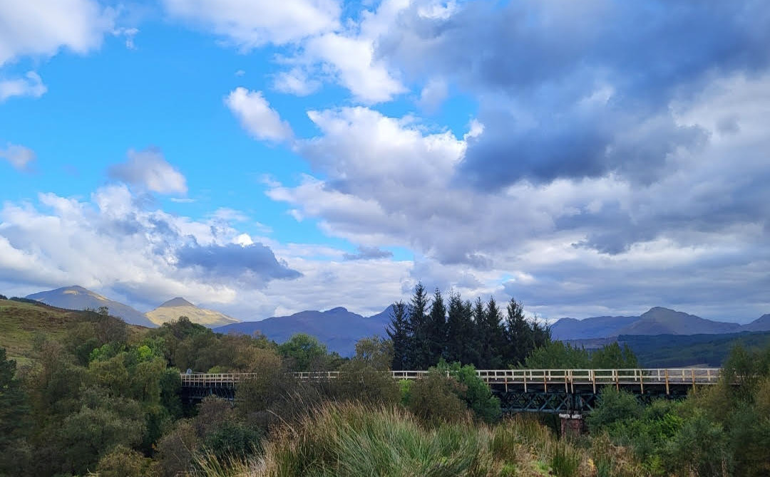
Continue east skirting the River Fillan, traverse the busy A82 road by an underpass and follow the WHW uphill towards Auchtertyre farm. As the farm is approached a junction appears, take the left track uphill to the east (the WHW turns right (south) at this point). Continue to climb steeply for a short distance until the Auchtertyre viaduct comes into view. The viaduct carries the West Highland railway line over the river and opened in 1894. A short walk above the viaduct presents a panorama of the Crianlarich range of hills including Ben More and Stob Binnein.
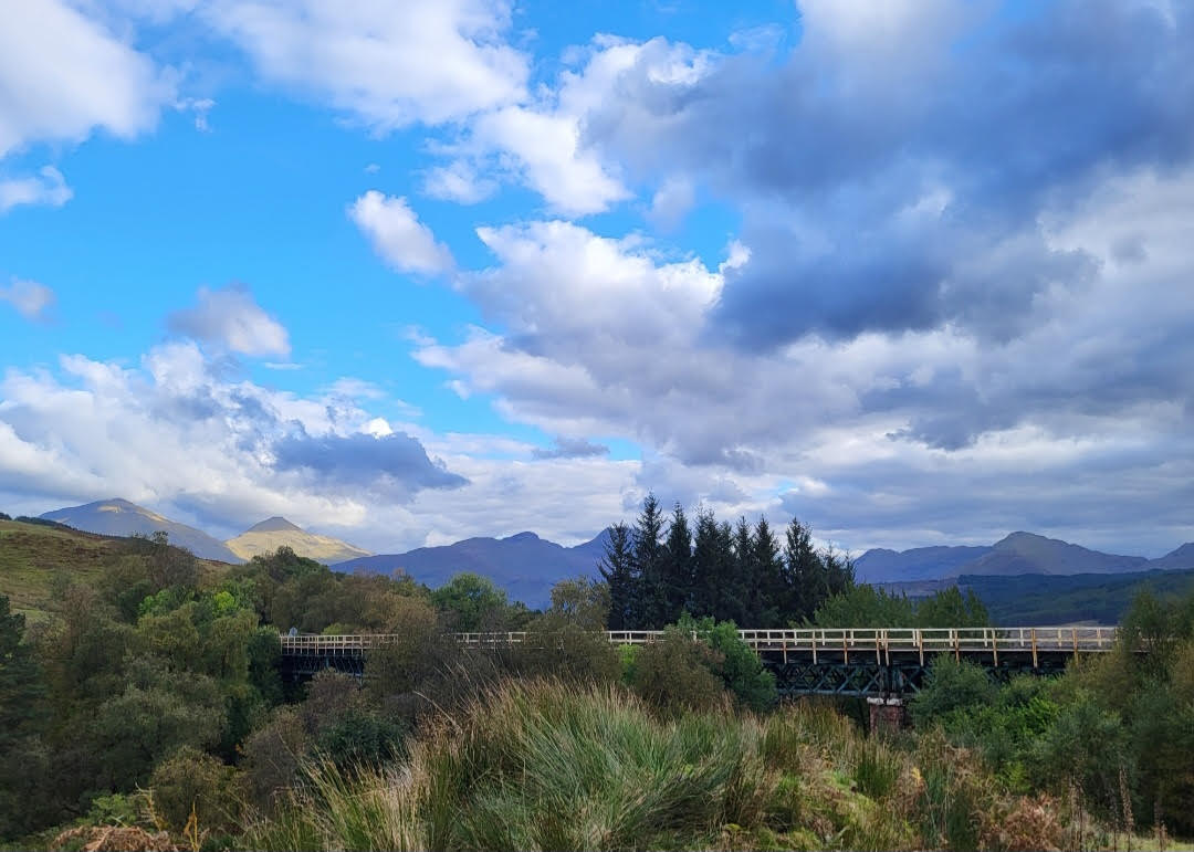
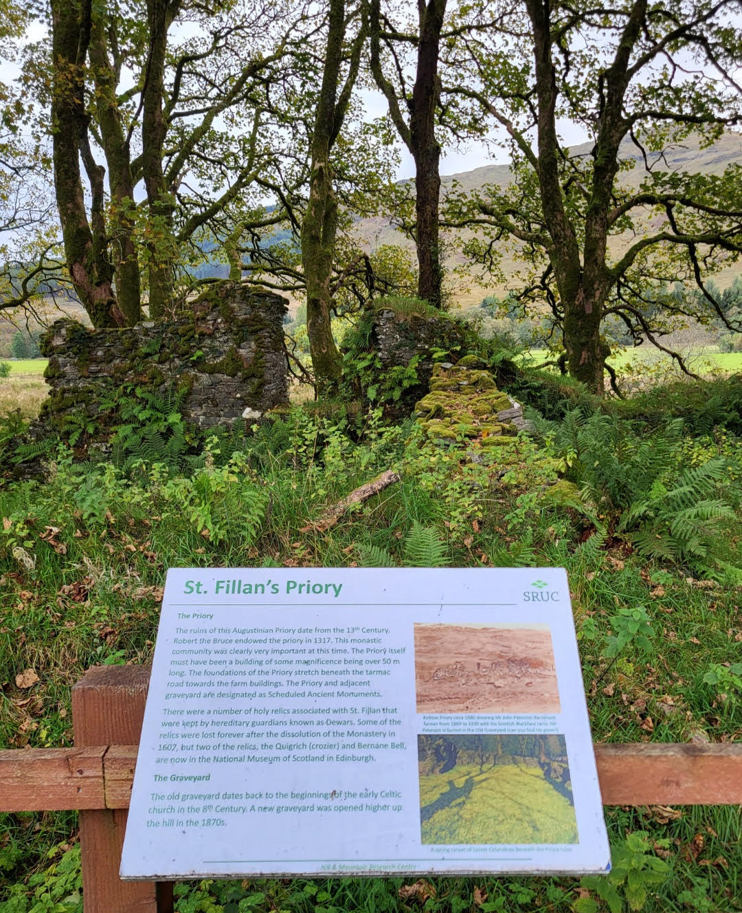
St. Fillan’s Priory
Retrace your steps back to Auchtertyre farm, and follow the WHW under the A82 and past the Dalrigh battlefield site to the aforementioned junction where the Cononish gravel roadway becomes the WHW and the route turns north back towards Tyndrum village.
Head back towards Tyndrum and follow the woodland path which soon finds itself beside the “Lochan of the lost sword”. It is thus named as legend says Bruce’s remaining troops threw their swords into the loch after their defeat at Dalrigh, albeit debate exists if this actual lochan was used or another nearby. An information board exists at the lochan.

“Lochan of the lost sword”
Continue on the WHW back to Tyndrum village, where the path leads to the Lower station and from there, the Upper station can be reached as previously described.

Map of Area (OS Landranger 50)
From Tyndrum Lower, return West to Oban at 1837 hrs or 2022 hrs, South to Glasgow at 1544 hrs or 1914 hr
From Upper Tyndrum, trains north to Fort William and beyond depart at 1433 hrs or 2029 hrs, South to Glasgow at 1912 hrs or 2152 hrs (sleeper service with seating, check for availability).
see :
Summary
Distance: 8 km
Duration: 3 hours
Height: Primarily flat with slight undulation in places, short climb to Auchtertyre viaduct, approx 200 feet
Terrain: Easy, forest track, gravel roadway and pathways/farm track, muddy in places
Map: OS Landranger 50
Words and photos by John Gilchrist
We want to keep our roads less busy and our air less polluted. See our Projects.