BRIDGE OF ORCHY, THE HORSESHOE CURVE, COUNTY MARCH SUMMIT AND TYNDRUM
Arriving at Bridge of Orchy station from the North at 0906hrs or 1301hrs and the South at 0801hrs (sleeper service), 1045hrs or 1448hrs (start this late only in summer due to light conditions, timescales/late finish). This walk starts at Bridge of Orchy station and for the most part, follows the military/old drove road south to Tyndrum, which now forms the “West Highland Way”.
see: http://www.realtimetrains.co.uk
Walk downstairs at the north end of the island platform and turn right, up a short rise, opening the gate that leads to the southbound footpath, (which is signposted with a white thistle and a yellow arrow on a post). The route to climb Beinn Dorain (1076m/3524 feet) also goes straight ahead (east) uphill from here.
The track south is straight, gently undulating, wide and well maintained and follows the route of the railway line, or rather, the railway, completed in 1894, follows the route of the far older drove road, enhanced by the military after the Jacobite period.
Looking behind you, a wide open expanse of country to the north can be seen, with Loch Tulla and the Black Mount heading towards Glencoe. The track hugs the mass flanked slopes of Beinn Dorain to the east, the A82 road lies to the West and to the South the conical summit of Beinn Odhar (901m) looms into view.
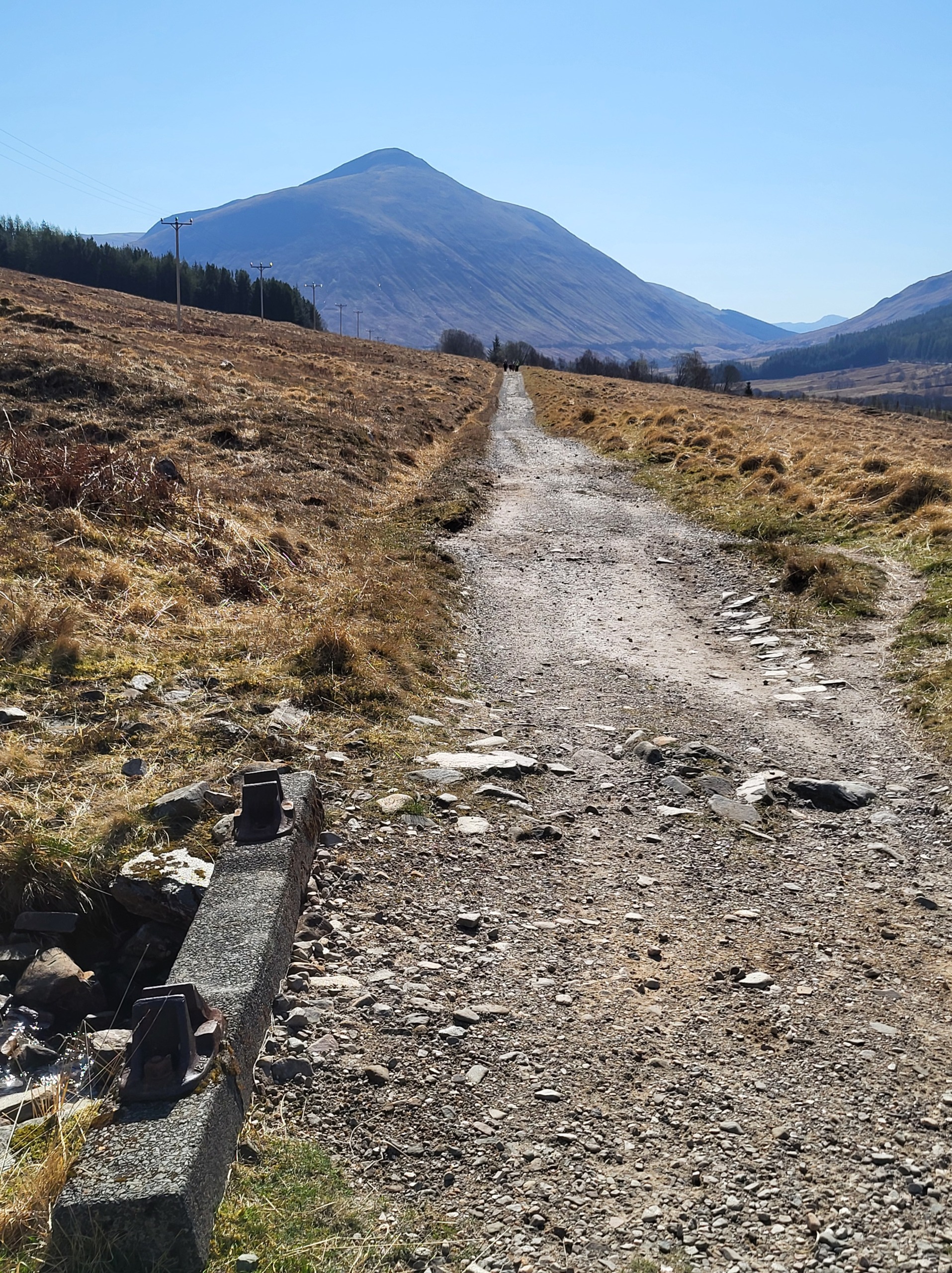
Towards Beinn Odhar
This part of the West Highland Railway offered challenges not only to its builders but to those who maintained and worked the line. Some 2.5 km from Bridge of Orchy, ‘McDougal’s Cottage’ is passed, once occupied by the lineman who maintained this section of track, now a private dwelling.
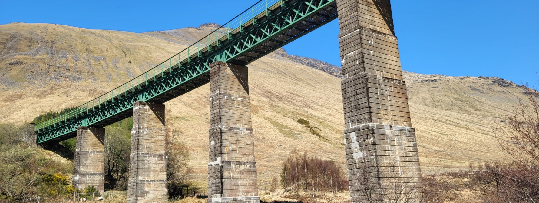
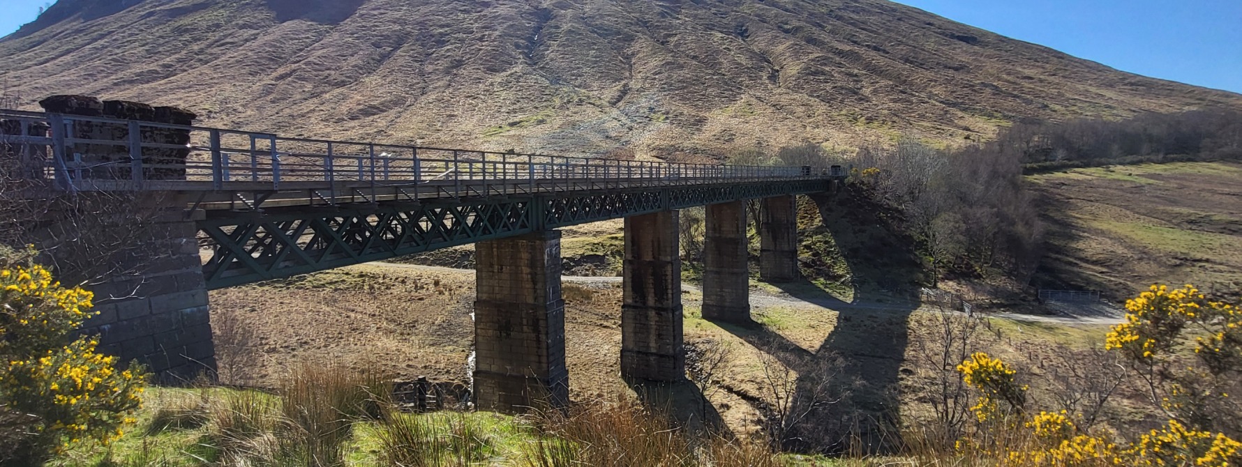
About 2 km further on, the broad Auch strath appears, lying between Beinn Dorain and Beinn Odhar, part of the Auch Estate. At the eastern end of the strath, lie 2 railway viaducts which form the famous “Horseshoe Curve”, a major engineering achievement by the railway contractors, Lucas and Aird and the railway’s chief engineer Charles Foreman. As the railway skirts Beinn Dorain, it heads south, then turns from south to east and Beinn a’Chaisteil (886m) comes into view to the east. The railway then crosses the Allt Kinglass river before sharply turning west and crossing the Allt Coralan river over another viaduct, before turning south again towards Tyndrum. As the passenger on the train looks across the Auch strath, the direction to be traversed as well as that already traversed can be seen, as the train proceeds round the giant U bend curve of railway line.
Back to the walk, after crossing the 18th century stone bridge over the Allt Kinglass River, the track continues south to Tyndrum, while another track heads east to where the viaducts are located. To visit the viaducts, turn east and follow the path signposted “Auch Estate Office”.
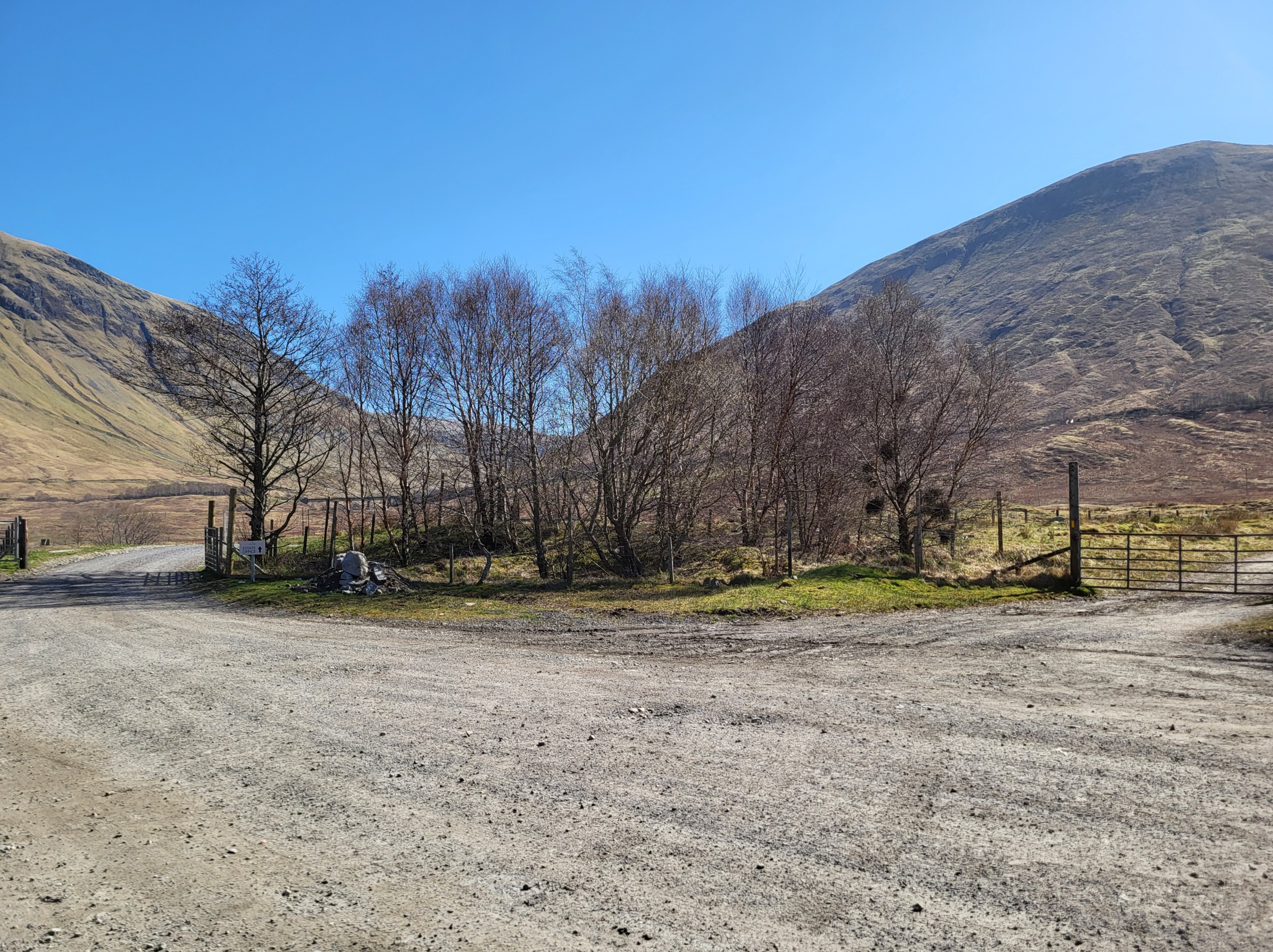
Track junction and sign to “Auch Estate Office”
Continue east passing through the newly constructed complex of estate buildings until the Allt Kinglass viaduct is reached, after crossing the ford of the river Allt Coralan.
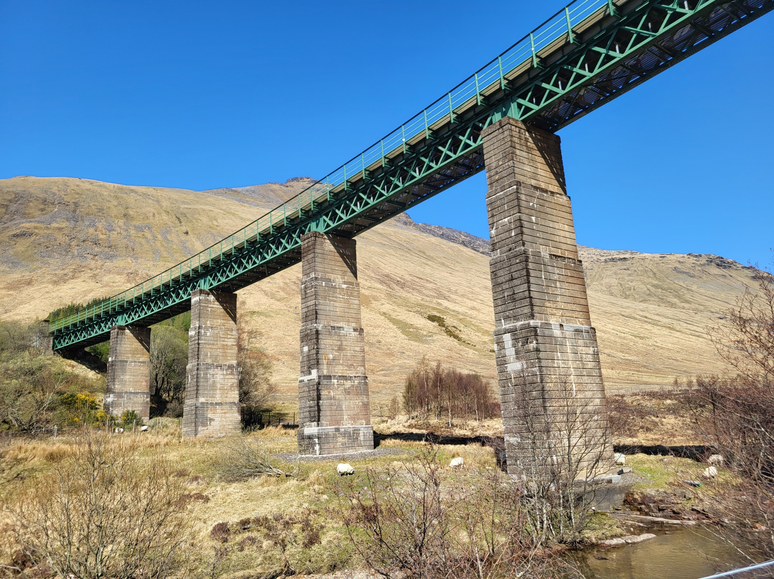
Allt Kinglass viaduct
The Allt Coralan viaduct is reached by heading back towards the Auch estate buildings and following the gently rising short path that turns left (south) before the estate buildings, for a short distance to the viaduct.

Allt Coralan viaduct
After viewing the viaducts, return to the junction with the main West Highland Way track and turn left (south). The track gains height here and another linemans cottage can be seen beside the railway, on the flanks of Beinn Odhar.
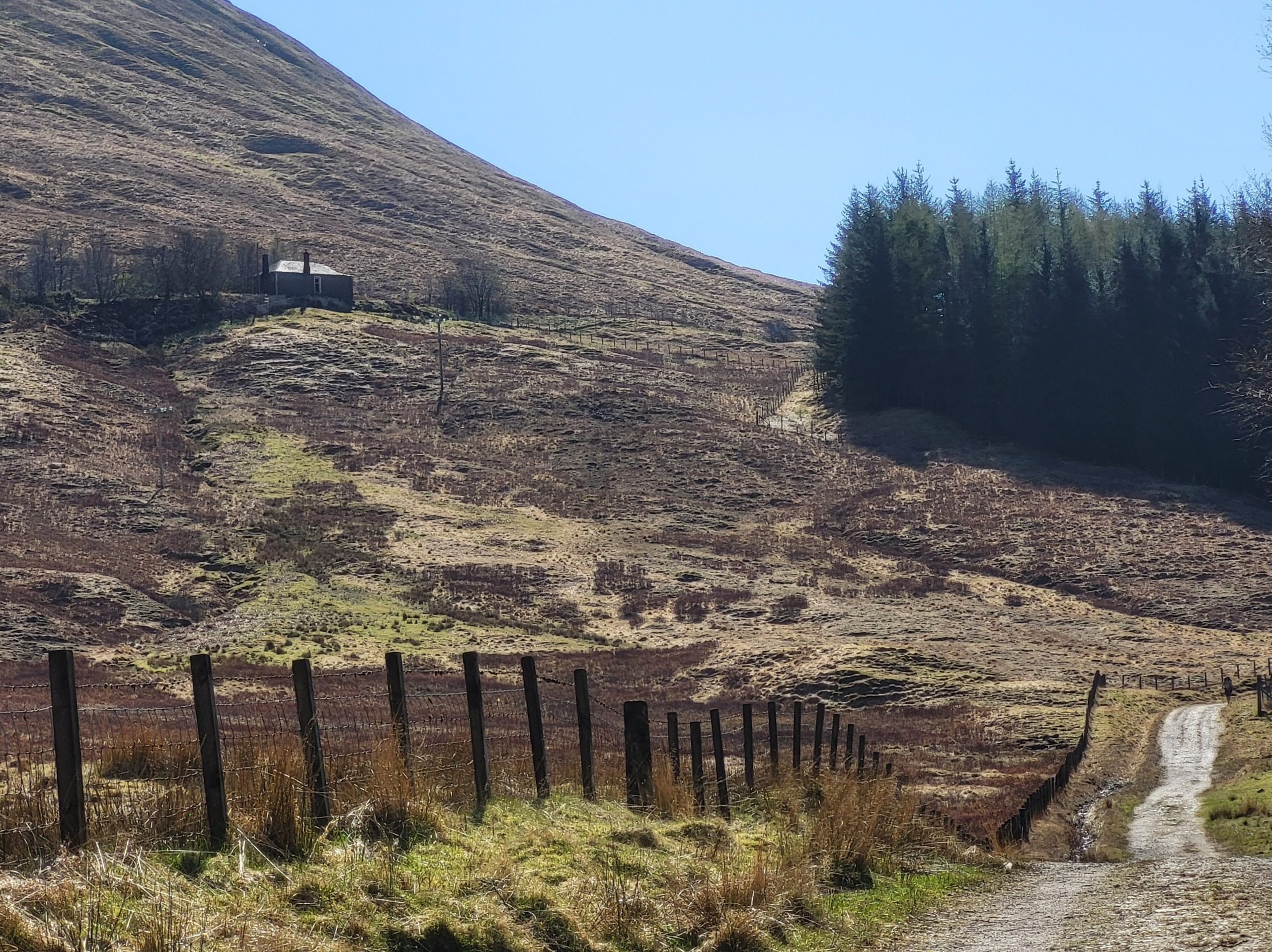
Railway cottage at Beinn Odhar
The track passes a small woodland and gradually climbs over the next 2 km onto a plateau, before running parallel to the A82 road and railway. It then passes under the railway by an underpass until a short climb, where it reaches “County March Summit”, the boundry between Perthshire and Stirlingshire. This is a well known haunt of railway photographers, as it presents one of the best known backdrops for railway photography in Scotland.

Train approaching “County March Summit”, with Beinn Dorain in background
The track then descends for the next 2 km towards the village of Tyndrum, the smallest habitation in Scotland to have 2 railway stations and a junction for transport routes to and from the South, towards Oban in the West and Fort William to the North.
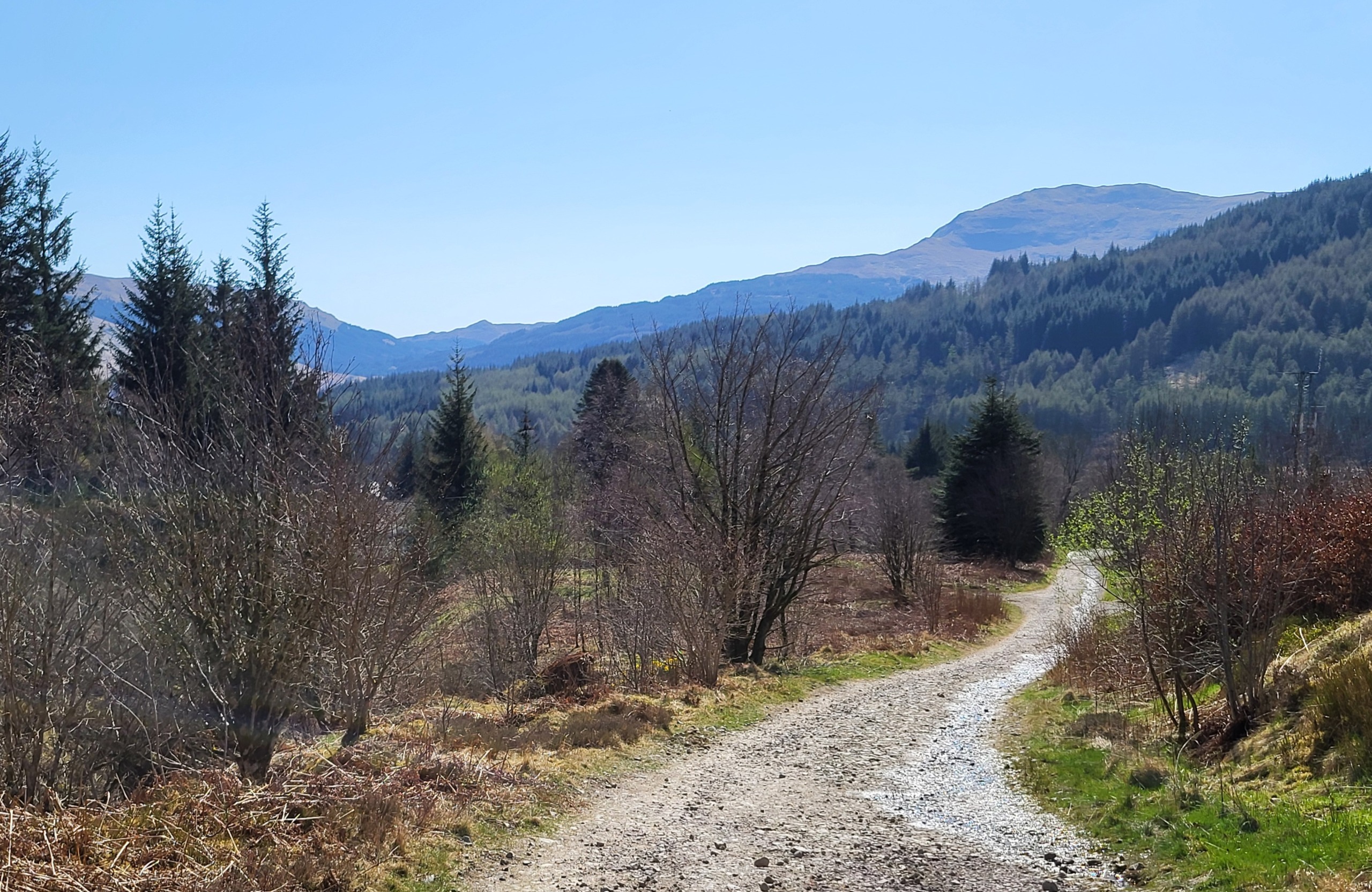
Through woodland towards Tyndrum
Tyndrum has expanded in recent years and offers various amenities including several hotels and bunk houses/hostels for walkers, see also
http://www.thegreenwellystop.co.uk
This walk can also be completed starting from Tyndrum, for train times see:
http://www.realtimetrains.co.uk
Trains return to the North at 1433hrs or 2029hrs and to South at 1316hrs, 1912hrs or 2152hrs (sleeper service) respectively from Upper Tyndrum station on the Fort William line.
Tyndrum Lower station serves trains on the Oban line which return South to Glasgow at 1318hrs, 1556hrs, 1914hrs and 2241hrs; trains to Oban are at 1241hrs, 1426hrs, 1837hrs and 2020hrs
Summary
Distance: 7 miles/11 km, if visiting viaducts, 1 additional km to visit both
Duration: 4 hours, additional 40 mins if viewing viaducts
Height gained: Slight undulation throughout route, approx 100-150m climb to County March summit
Terrain: Easy, good, well defined tracks throughout
Map: OS Landranger 50
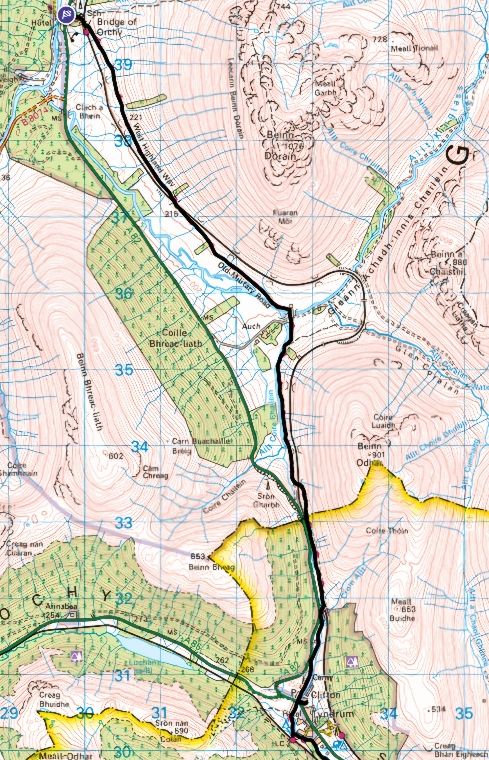
Map of route (OS Landranger 50)
Words and photos by John Gilchrist
We want to keep our roads less busy and our air less polluted. See our Projects.