RANNOCH TO CORROUR – “THE ROAD TO THE ISLES”
Arrive at Rannoch station from the North at 0842hrs or 1241hrs, from the South at 1108hrs or 1509hrs (this latter train only if walking route in summer months due to late finish), see
From March to October you can visit
www.rannochstationtearoom.co.uk
Open Saturdays to Wednesdays before the walk (or after it if walking from Corrour to Rannoch station)
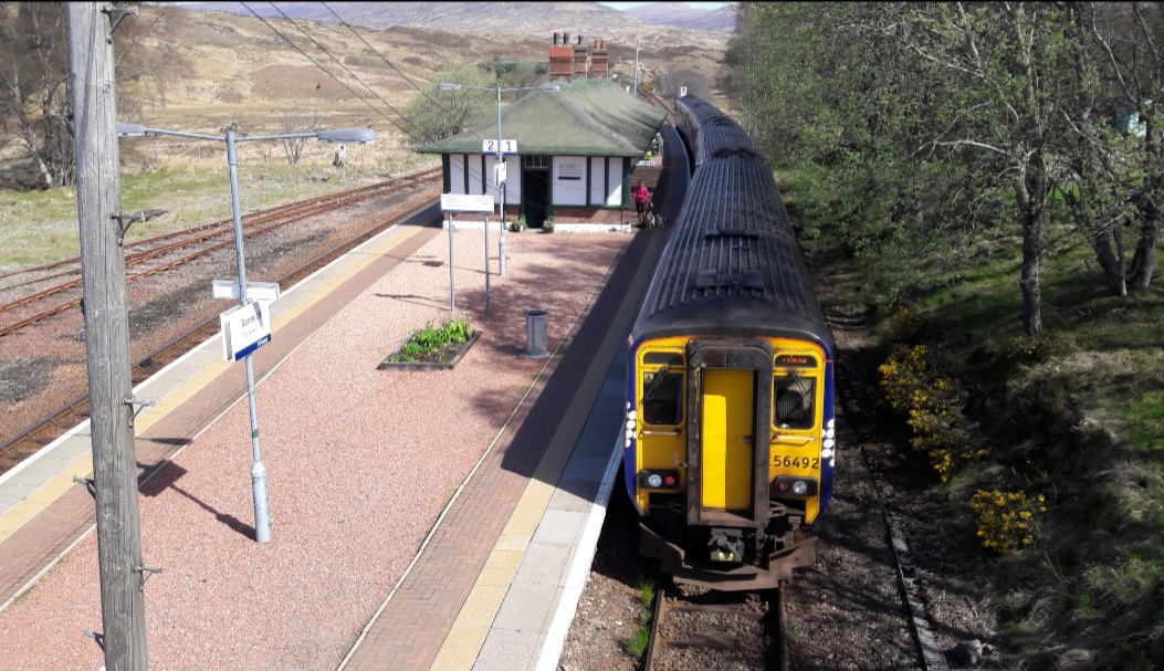
Rannoch station
Leaving Rannoch station take the B846 road East for approx a mile and a half (2.5km) then turn North West onto the vehicle track marked “The Road to the Isles to Corrour and Fort William”.
After skirting Meall Na Mucarach to your east, the track climbs steadily before crossing the Allt Eigheach river by a bridge beside a forestry plantation, where the track becomes a walking path.
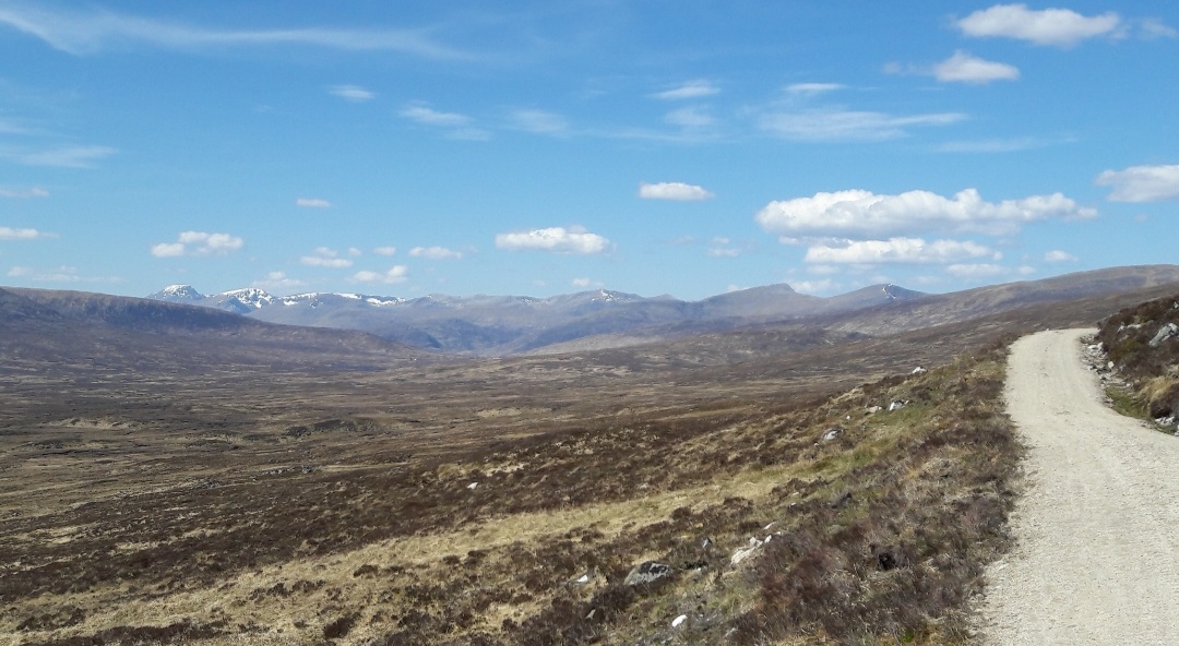
Heading north
The ridge of Sron Leachd a’ Chaorainn to its northernly summit of Carn Dearg come into view and are skirted on your east side. As you head north you will see the Blackwater reservoir to the North West and the Mamores and Nevis range hills come into view.
At a height of approximately 500m the ruins of Old Corrour Lodge (once Scotlands highest shooting lodge) are a good place to have a break.
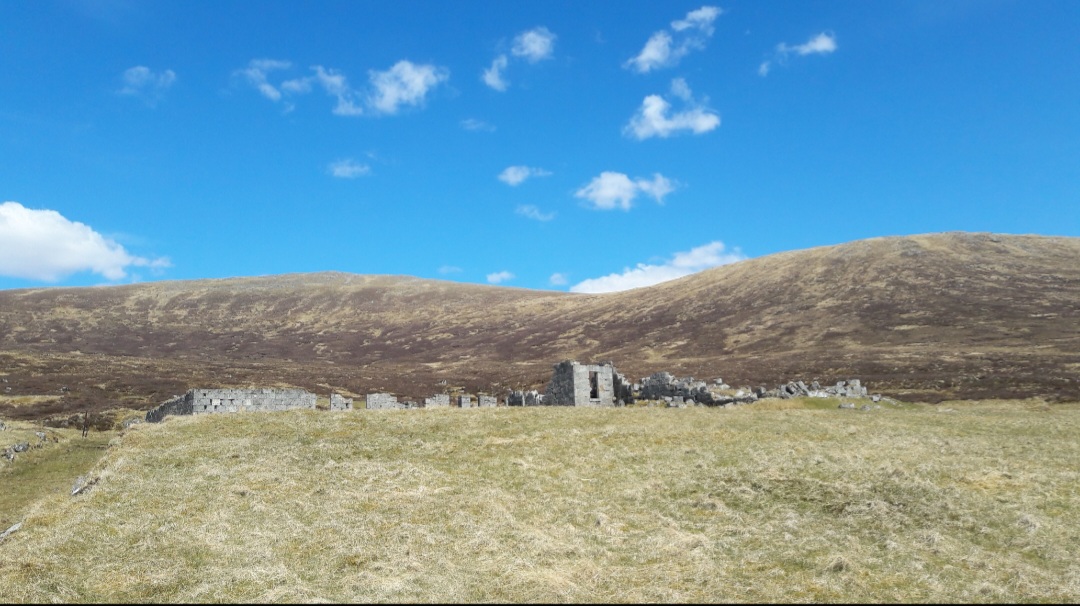
Old Corrour Lodge
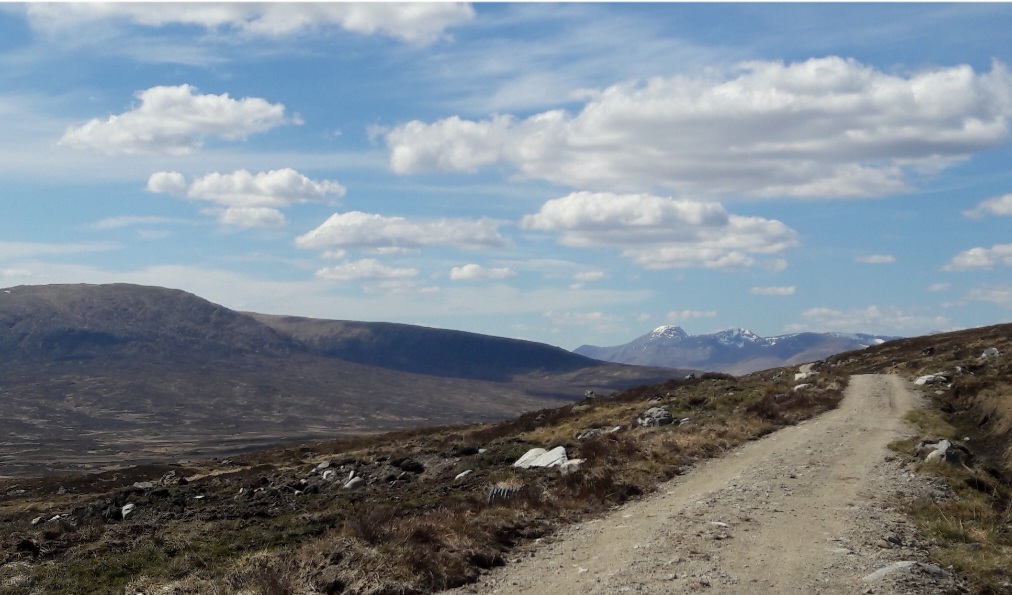
Looking North towards Ben Nevis
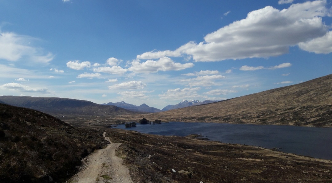
The path then turns westerly and descends while skirting Gualainn Chlachach to your east and Loch Ossian can be seen to the north.
At 8.5 miles (13.5km) at Peter’s Rock (commemorating a young man who tragically drowned in the loch), the path turns westerly and skirts Meall Na Lice, towards Loch Ossian and it’s lochside youth hostel.
Going West beside Loch Ossian
Follow the path onwards west from Loch Ossian Youth Hostel to Corrour station for the last one and a half miles (2.5km).
At Corrour station you can enjoy the hospitality of
https://www.corrour.co.uk/station-house/
Open daily 0830 to 2100hrs from March until mid November
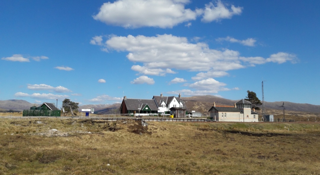
Corrour station and stationhouse pub and restaurant
Trains return North at 1524hrs and 2120hrs and South at 1825hrs and 2051hrs (Caledonian sleeper service) * Please note Corrour has a very short platform (only the middle doors of trains open here).
Summary
Distance: 11 miles/17km
Duration: 4 hours
Height gained: around 300m as walk starts from height at Rannoch station
Terrain: moderate mountain track/path
Maps: OS Landranger 41/42
This walk can be done in the opposite direction, from Corrour to Rannoch, see
For train arrival times at Corrour/departure times at Rannoch
See also
For the Rannoch restaurant and rooms situated beside Rannoch station
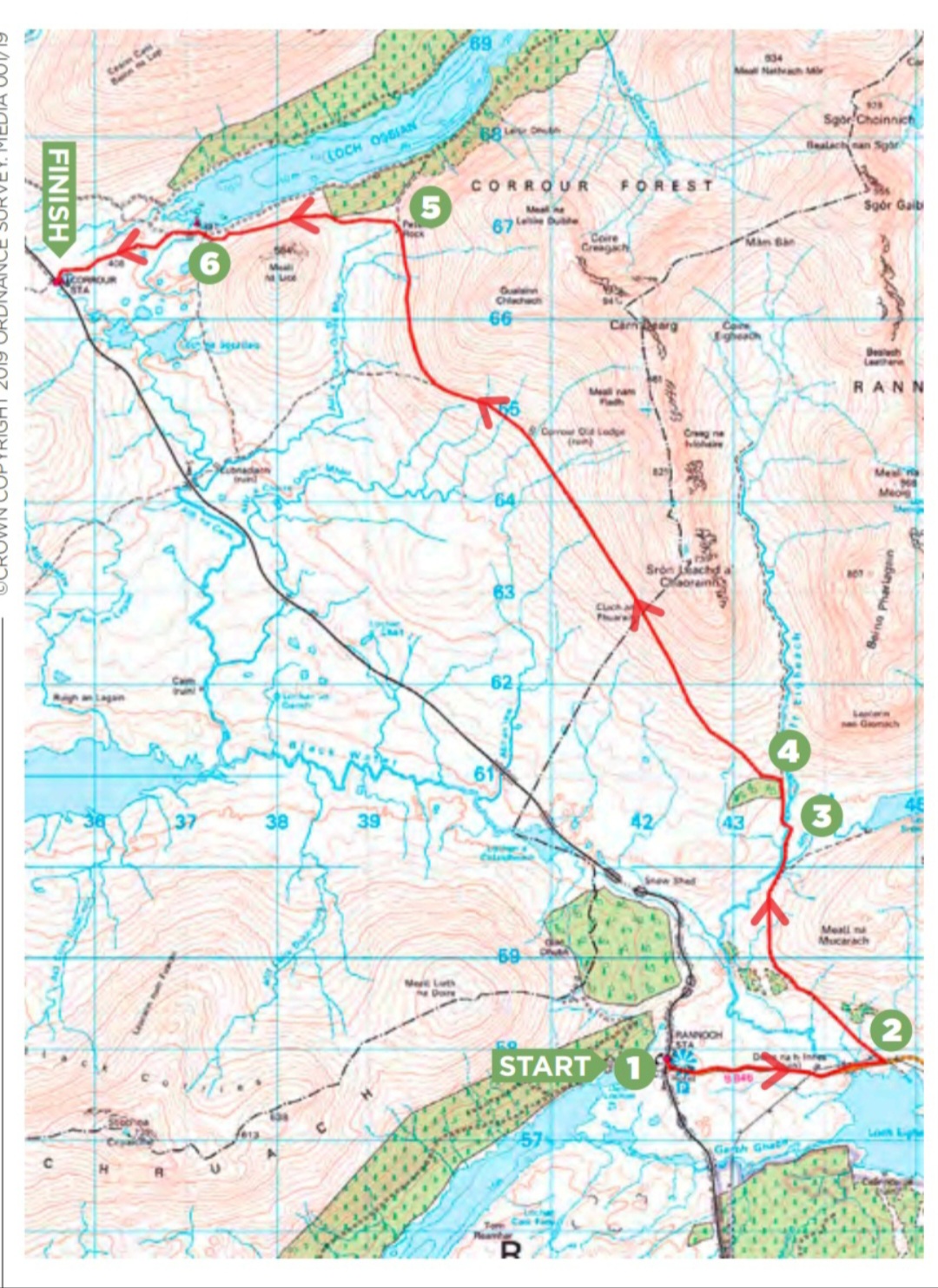
Map of route (from “Country Walking” January 2019)
Words and photos by John Gilchrist
We want to keep our roads less busy and our air less polluted. See our Projects.