BRIDGE OF ORCHY TO VICTORIA BRIDGE AND THE LOCH TULLA LOOP
This walk starts from the station at Bridge of Orchy which sits, surrounded by mountains, at the north end of Glen Orchy. This is arguably where the real wild Highlands begin as just further north, the country of the ‘Blackmount’ is entered and leads to Glencoe, and the West Highland railway line advances onto Rannoch Moor and on to Lochaber.
The longer loop route described follows the West Highland Way (WHW) footpath north west to the Inveroran Hotel, and then turns eastwards and skirts the north side of lonely Loch Tulla before turning south, back to Bridge of Orchy via the A82 Crianlarich to Fort William road (13.5 km).
BE AWARE, COMPLETING THIS WALK REQUIRES WALKING 5 KM BESIDE A MAIN TRUNK ROAD
An alternative, shorter loop route, is to return to Bridge of Orchy from the Inveroran Hotel via the much quieter old tarmac road, which initially skirts the south side of Loch Tulla and then follows the River Orchy southwards (7.5 km).
Arrive at Bridge of Orchy by train from Mallaig, Fort William and the North at 0906hrs or 1301hrs and from Glasgow and the South at 0817hrs (sleeper service) or 1045hrs.
See:
http://www.realtimetrains.co.uk
From the station walk down the hill and cross the main A82 road, being aware of fast and frequent traffic thereon. Continue beyond the Bridge of Orchy Hotel and cross the bridge itself, built in 1751 to improve communications in the Highlands.

Bridge of Orchy looking towards the hotel and Beinn Dorain (1076m)
A carpark lies beyond the bridge; to its right is the old tarmac road which skirts the River Orchy and heads north towards the Inveroran hotel, 4.5 km away. The WHW gravel track is signposted and is more direct (3 km). Leaving the road, the track climbs gradually uphill north westerly via Mam Carraigh hill (361m), which provides great views of the surrounding landscape, before the track drops downhill again to the tarmac road beside the hotel.
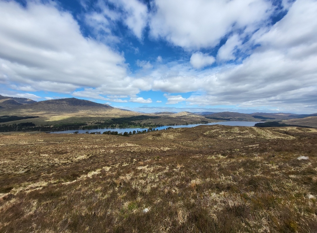
Loch Tulla from Mam Carraigh
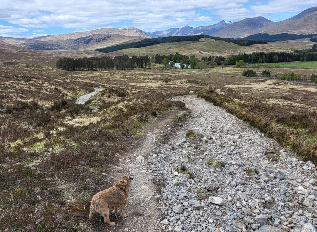
Looking towards the Inveroran Hotel
The Inveroran Hotel dates from the early 18th century and provides food, drink and accommodation.
See:
From the hotel, follow the WHW which joins the tarmac road, west, then north, for approx 1 km, to Victoria Bridge, which crosses the Abhainn Shira river.

View East from Victoria Bridge
A short distance further on is the junction at Forest Lodge. From here the WHW becomes a gravel track again and continues north to Blackmount, while the tarmac road turns east and skirts the north side of the Loch Tulla for 4.5km.

Forest Lodge junction
Turn right and follow the tarmac road east, through a pleasant wooded area by the lochside passing a small cluster of houses including the Victorian Black Mount hunting lodge. After this, the tarmac road then becomes a gravel track, rising gently into open country and Eilean an Stalcair island comes into view on the loch. This small island contains the remains of a Crannog (an ancient defensive stockade).

Looking south towards Eilan an Stalcair and surrounding mountains
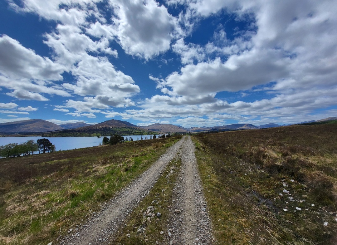
Looking back West along the Loch Tulla track
Continue eastwards and the track descends towards the eastern extent of Loch Tulla. A car park beside Tulla Cottage lies at the junction with the A82 main road.
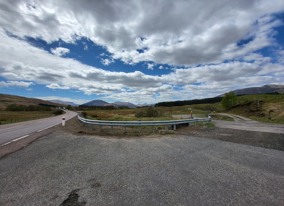
Junction of track and A82
Turn right (south) and follow the A82 road for 5 km back to Bridge of Orchy.
Please note the next 5 km requires walking beside a main trunk road and great care is therefore required. A footpath lies on the west (Loch Tulla side) of the road initially but becomes a wide grass verge after a short distance.
Take special care crossing the concrete arch Tulla road bridge, built in 1931, as footway access on it is very limited. The bridge is located a short distance south of the junction with the track at Tulla cottage.
The route back to Bridge of Orchy as described allows the walker to face oncoming traffic on the grass verge; therefore doing this walk in the opposite direction (i.e. from Bridge of Orchy) is not recommended.
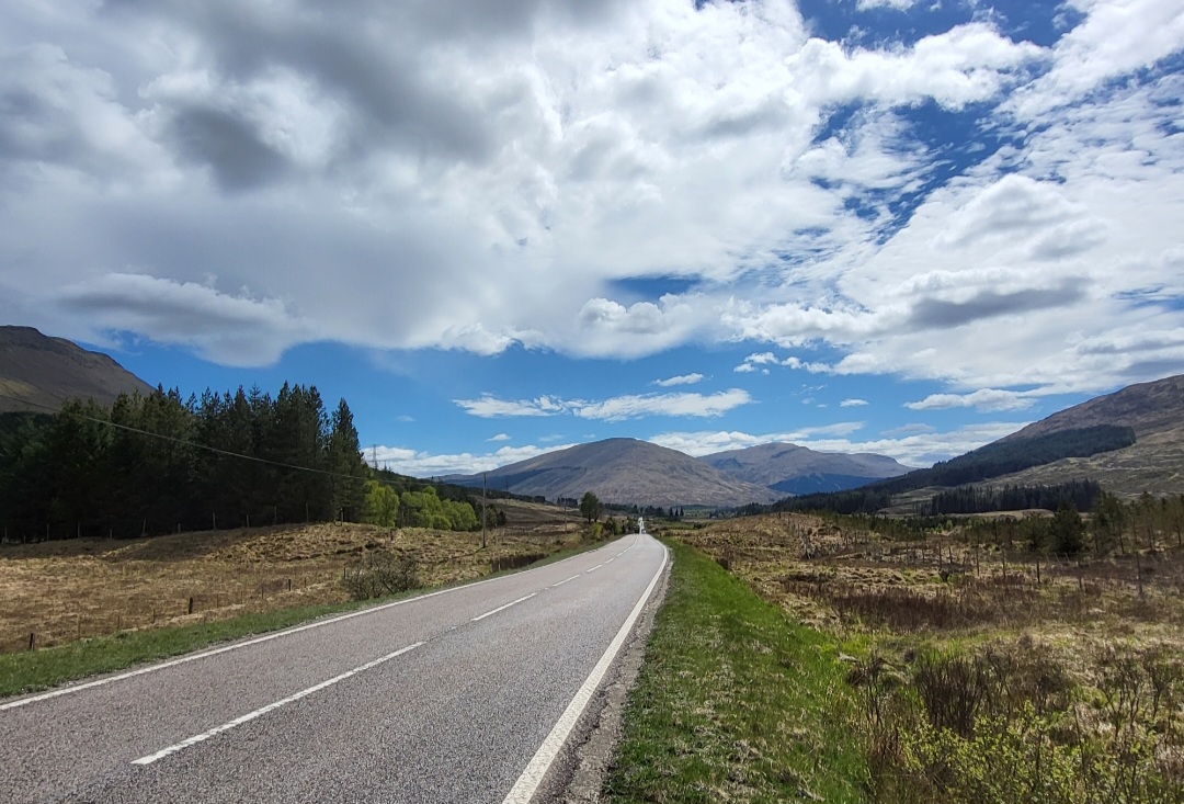
A82 towards Bridge of Orchy
On arrival back at Bridge of Orchy, the recently refurbished hotel offers food, drink and accommodation. The Cullen Skink (Scottish seafood soup) is recommended.
See:
http://www.bridgeoforchy.co.uk
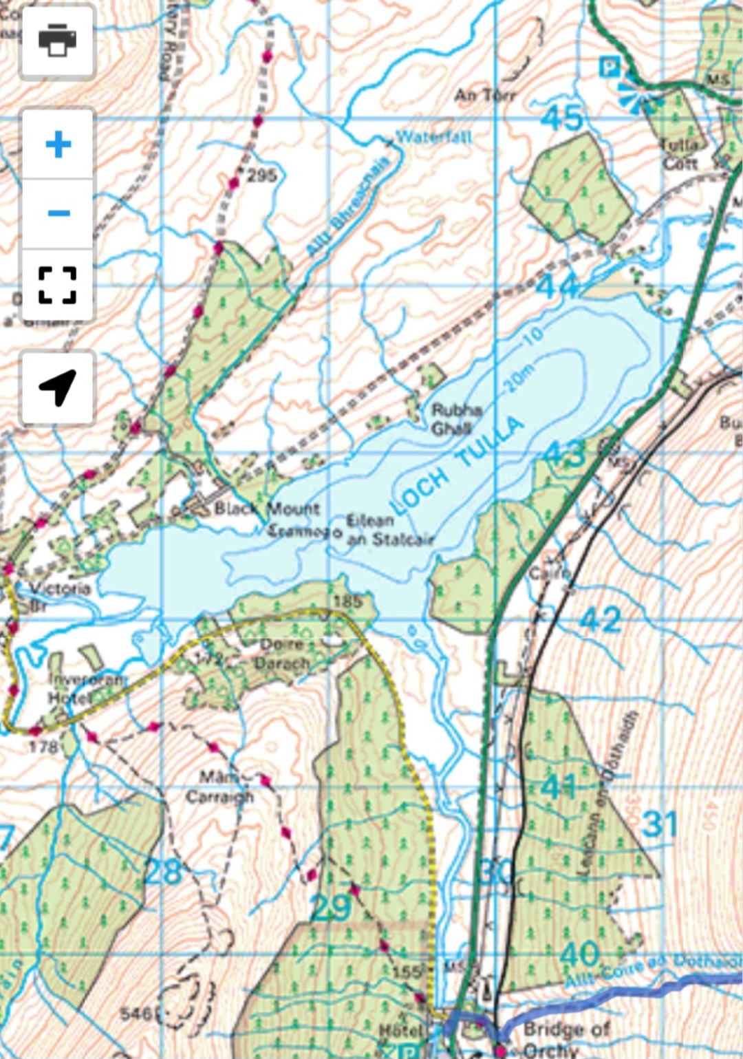
Map of area: OS Landranger 50/360 degree Munros
Trains from Bridge of Orchy return North to Fort William and Mallaig at 1448hrs and 2044hrs and return South to Glasgow at 1857hrs and 2044hrs (sleeper service).
Summary
Distance: 13.5 km
Duration: 4 hours
Height: Approx 150m initially uphill to Mam Carraigh, descent to level road then undulating track beside Loch Tulla, then level roadside again
Terrain: Easy going, gravel track, muddy in places, tarmac road and grass verge track
Map: OS Landranger 50
Words and photos by John Gilchrist (unless otherwise stated)
We want to keep our roads less busy and our air less polluted. See our Projects.